Skip to content
Case Study

Oklahoma Gas Gathering Cuts Product Loss and Enhances Safety with Bridger Photonics
Oklahoma Gas Gathering Logo
Logo for Bridger Photonics
Product SKU Images (2)

About the case

Bridger Photonics provides aerial methane imagery and high-resolution mapping to OGG’s network, enabling faster decision-making, improving leak localisation, and empowering a more targeted use of the organization’s limited field resources.

Metrics That Matter 

Recurring Scans: Ongoing aerial monitoring of transmission networks

Leak Detection Coverage: Finds both major and minor emissions sources

Improved Targeting: Directs crews precisely where attention is needed

Operational Uplift:  Enhances safety and reduces product loss

Challenge:

OGG manages a wide and complex gathering and transmission network, including remote and older infrastructure that is difficult to monitor with traditional inspection methods. Smaller or obstructed leaks were often left undetected, and the team needed better ways to prioritize limited crew resources. To advance a proactive emissions-management strategy, OGG required clearer visibility across its system and more efficient ways to discover and address leaks.

The Solution:

 Bridger Photonics’ Gas Mapping LiDAR provides high-resolution aerial plume imagery paired with recurring scans of OGG’s transmission network. These flights detect both major and minor leaks (many that traditional methods missed) and deliver precise location data down to the source. Combined with high-resolution visuals, OGG gains actionable insights that help focus field efforts where they matter most.

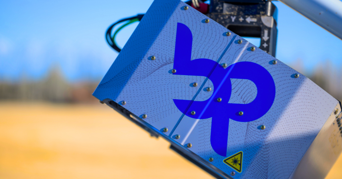
Sensor Image

Why Aerial

 Midstream operators need visibility across long pipeline networks, remote infrastructure, and aging assets where traditional inspection methods can be time-consuming and difficult to scale. Aerial methane measurement provides a comprehensive view of the system, helping operators detect emissions sooner, prioritize the right repairs, and make better use of limited field resources. For Oklahoma Gas Gathering, recurring aerial surveys improved leak visibility, reduced product loss, and supported a more proactive approach to emissions management.

Key Takeaway

Bridger Photonics provides aerial methane imagery and high-resolution mapping to OGG’s network, enabling faster decision-making, improving leak localisation, and empowering a more targeted use of the organization’s limited field resources.


 Projected results are based on a third-party financial model developed using operator-specific inputs and assumptions. Actual results will vary based on site conditions, regulatory requirements, and other factors. This case study does not constitute a guarantee of performance, savings, or regulatory compliance. 

Projected Business Impact

Improved visibility across the entire network

Faster identification of leak locations

Better use of crew time and fewer unnecessary site visits

Reduced product loss and strengthened safety

A proactive emissions-management approach built on recurring aerial data

Testimonials

 Join the operators leading on emissions intelligence.