Case Study
Inside SoCalGas’ Transition to High-Resolution Aerial Methane Detection
About the case
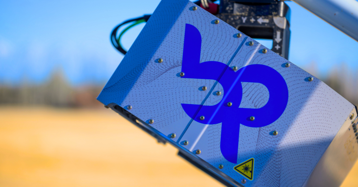
Gas Mapping LiDAR (GML) provided unmatched spatial resolution, fast data delivery, and a scalable workflow that helped SoCalGas reduce emissions, increase operational safety, and accelerate its progress toward net-zero goals.
Metrics That Matter
100K+
miles of pipeline network monitored
6M+
meters across service area
Challenge:
SoCalGas conducts extensive annual foot patrols and consistently exceeds regulatory requirements with its LDAR program. But the organization needed a more efficient way to reduce emissions system wide.
They required a solution that could:
- Detect emissions in complex, high-density environments
- Improve spatial precision beyond traditional methodologies
- Scale across diverse terrain and infrastructure types
- Support faster identification and mitigation of methane sources
- Integrate into existing internal workflows for LDAR and operations
Their team also needed a proven technology with demonstrated reliability through controlled releases and rigorous R&D.
The Solution:
Gas Mapping LiDAR (GML) provided unmatched spatial resolution, fast data delivery, and a scalable workflow that helped SoCalGas reduce emissions, increase operational safety, and accelerate its progress toward net-zero goals.

Why Aerial
After extensive double-blind testing and additional R&D, SoCalGas selected Gas Mapping LiDAR for a multi-year engagement.
GML provided:
- High-sensitivity detection at 0.5 kg/hr (90% PoD) with a clear view
- Aerial scanning for rapid, efficient coverage of service areas
- Plume imagery and quantification that directs crews directly to emission sources
- Improved safety outcomes, with better crew preparation and fewer unnecessary site visits
- Seamless integration into internal workflows, supported by advanced data management and custom flight plans
This aerial-first approach expanded their LDAR program and helped prioritize emissions reductions across Southern California.
Key Takeaway
Gas Mapping LiDAR helped SoCalGas reduce methane emissions at scale while improving the safety of workers and communities. The aerial data enabled faster repair dispatching, clearer prioritization, and greater operational efficiency. The engagement also advanced industry-leading R&D, further informing SoCalGas’s future methane-reduction strategies as part of its ASPIRE 2045 net-zero goal.
Projected results are based on a third-party financial model developed using operator-specific inputs and assumptions. Actual results will vary based on site conditions, regulatory requirements, and other factors. This case study does not constitute a guarantee of performance, savings, or regulatory compliance.
Projected Business Impact
100K+
Miles of Pipeline Network Monitored
6M+
Meters Across Service Area
Testimonials