FAQs
Frequently Asked Questions
-
What is LiDAR?
LiDAR stands for Light Detection and Ranging and refers to the use of laser light to determine the distance to an object (topographic LiDAR) or to remotely detect a gas or cloud (atmospheric LiDAR). Learn more about LiDAR here.
-
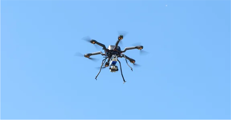
What is Gas Mapping LiDAR?
Gas Mapping LiDAR is an aerial methane detection technology that sensitively detects, accurately locates, quantifies, and images methane emissions. GML uses LiDAR sensors attached to small aircraft to scan assets throughout the natural gas value chain and detect methane emissions.
-
What is the difference between active and passive remote sensors?
Passive remote sensors typically use either a temperature difference between gas and background (e.g. thermal infrared cameras) or absorbed sunlight that bounces off the ground (e.g. solar infrared cameras) to measure an integrated gas concentration. Active remote sensors measure integrated gas concentration by the absorption of laser light emitted directly from the sensor.
Passive remote sensors rely on the environment for their measurement, meaning there needs to be sunlight to get an accurate measurement with a passive sensor like solar infrared.
Gas Mapping LiDAR is an active remote sensor. This means that the GML sensors create their own light in order to measure a gas concentration and therefore don’t require specific environmental conditions to measure a gas.
-
What Sensor Type is Gas Mapping LiDAR?
We collect site data using proprietary atmospheric Light Detection and Ranging (LiDAR) sensors that we manufacture in-house.
-
What parts of the oil and gas supply chain can Gas Mapping LiDAR scan for?
Gas Mapping LiDAR can be used throughout all parts of the natural gas value chain from production sites to transmission pipelines, all the way into communities where gas is delivered to homes and businesses in distribution mains.
-
What is Gas Mapping LiDAR’s detection sensitivity?
Gas Mapping LiDAR’s detection sensitivity depends on the sector in which it’s being used in. For the production sector, an emission rate detection sensitivity of 3 kg/hr with over 90% Probability of Detection (PoD) is used. For the distribution sector, our second-generation sensors are being tested to determine the PoD for a detection sensitivity of 0.2 kg/hr in typical conditions.
Learn more about why detection sensitivity is important here.
-
What data does Gas Mapping LiDAR provide about methane emissions?
Our clients can receive the following data about every detected emission: emission rate, maximum path-integrated concentration, methane gas plume imagery, emitter location GPS coordinates, and intermittent/persistent designation. In addition, we provide up-to-date aerial photography of the sites flown. The data is typically delivered via GIS files, Excel spreadsheets, and PDFs, although we can provide any data formats that your company might need.
-
What studies support Gas Mapping LiDAR’s capabilities?
We have several third-party, peer-reviewed studies and controlled release studies that confirm our performance specifications and capabilities.
Read the full list of scientific studies about Gas Mapping LiDAR linked here.
-
What is the Minimum Detection Limit (MDL) for Gas Mapping LiDAR?
We discourage the use of minimum detection limit (MDL) because the environmental and operational conditions can, in principle, allow us to achieve arbitrarily small detection sensitivity. We prefer to describe our capabilities with an emission rate detection sensitivity that includes a Probability of Detection (PoD).
Bridger's chosen emission rate detection sensitivity for the production sector is 3 kg/hr with 90% PoD under typical conditions. That means that under typical conditions, our clients can have high confidence (>90%) that we will detect emissions above 3 kg/hr. We still detect emissions below 3 kg/hr, but it becomes less and less likely the smaller the emission.
For the distribution sector, we drop the sensitivity down to 0.5 kg/hr with 90% probability of detection, but doing this for our production sector clients would bury them with repairs that don’t appreciably impact emissions.
-
Can Gas Mapping LiDAR detect and identify multiple emitters on a single site?
Yes, Gas Mapping LiDAR has the spatial resolution to identify different emission locations on a single site. Gas Mapping LiDAR provides equipment-level localization, meaning Bridger is able to identify which piece of equipment is emitting. Rather than showing an emission emerging from a tank battery, Bridger is able to inform clients that tank number 3 in this battery has an emission. This actionable information allows our clients to efficiently deploy repair crews to the emission location.
-
Can Gas Mapping LiDAR detect emissions from an unlit flare?
Yes, Gas Mapping LiDAR can detect emissions from both unlit and malfunctioning lit flares. Gas Mapping LiDAR has the emission rate detection sensitivity as well as the spatial resolution and imagery necessary to detect and identify both types of flares.
-
What’s the process of getting Gas Mapping LiDAR data?
The first step is providing GIS data of your site locations to our team. We then create flight plans using this information to ensure all your desired assets are covered. You’ll meet your entire Bridger team at a Kickoff meeting where together we’ll review your goals and discuss the schedule. We oversee all flight and scan logistics.
Once a scan occurs, you can receive your data at three different points. First, notification of any large emitters above a pre-determined threshold is provided, if desired. Next, a 24-hour Safety Report with preliminary data is provided within a day after the scans to alert you to hazardous leaks. Lastly, after 5-10 business days, you’ll receive your fully processed report with the complete set of data. The data is typically delivered via GIS files, Excel spreadsheets, and PDFs, although we can provide any data formats that your company might need.
-
Can Gas Mapping LiDAR help me meet the requirements for gas certification?
Yes! Gas Mapping LiDAR can be used to achieve methane emissions reduction requirements for several independently certified gas programs. These include OGMP 2.0 Gold Standard reporting, MiQ A Grade certification, and EO100 certification. Learn more about our certification capabilities here.
-
Does Gas Mapping LiDAR meet city, state, or federal requirements for LDAR?
Gas Mapping LiDAR was included in the first ever Alternate Means to Emissions Limitation (AMEL) application, under the U.S Environmental Protection Agency’s (EPA) OOOOa rule. The application is currently being reviewed by the EPA, but if approved, could pave the way for Gas Mapping LiDAR to be used more broadly to meet EPA’s Leak Detection and Repair Program requirements.
Gas Mapping LiDAR is also an approved technology for New Mexico’s ALARM program.
In Canada, we've been included in several Alt-FEMP programs for alternative fugitive emission management protocols.
Contact us for more information on specific requirements in your jurisdiction.
-
What basins does Bridger Photonics cover?
Gas Mapping LiDAR is being used in basins throughout North America. These include major basins like the Permian, Denver-Julesburg, Marcellus, and Bakken, as well as basins like the Eagle Ford, Haynesville, Anadarko, Powder River, Green River, Uinta, San Joaquin Valley, and Utica.
We also scan assets throughout Canada in Alberta, British Columbia, and Saskatchewan.